
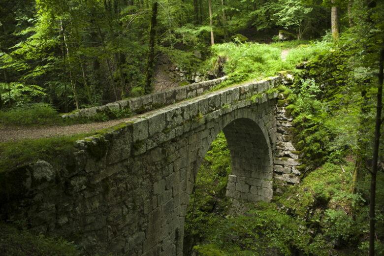
Check before you go: a walker report dated 14 July 2026 said this route was closed for safety reasons, with footbridges in poor condition, and advised checking with the Saint-Pierre-de-Chartreuse tourist office. This guide therefore describes the route as it is normally walked – it does not guarantee the trail is open on the day you visit. Check locally before setting out, especially after storms or heavy rain.
What the Gorges du Guiers Mort are
The Gorges du Guiers Mort are a narrow limestone canyon in the Chartreuse mountains, in the Isère département, between Saint-Pierre-de-Chartreuse and Saint-Laurent-du-Pont. The Guiers Mort river runs through the bottom of the gorge, below steep rock walls, and the walk follows it at river level, mostly in woodland shade. That shade is the walk’s main appeal in summer: on a hot day, the gorge floor stays noticeably cooler than the open valley.
The name needs a little explanation, because “Mort” means “dead”. The river is anything but dry – it is fed in part by underground water from the Chartreuse massif – but the name has stuck, and you will see it on maps and signposts as “Guiers Mort” throughout this area. The neighbouring river, the Guiers Vif, joins it further downstream to form the Guiers proper.
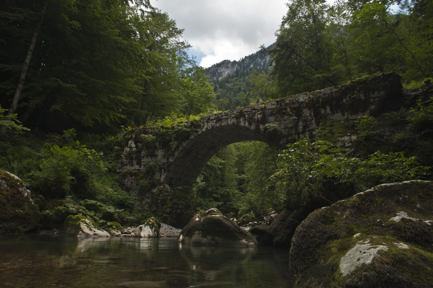
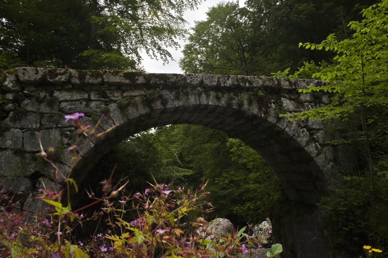
The gorge also carries a long human history. The site of Fourvoirie, at the gorge entrance, was once home to the Chartreuse liqueur distillery, abandoned in 1935 after a landslide, as well as old forges and the terminus of a railway line from Voiron to Saint-Béron. Between Saint-Laurent-du-Pont and Saint-Pierre-de-Chartreuse, 19 bridges were built across the Guiers Mort and its tributaries, several of them listed as historic monuments. You will not see all of that from the riverside path, but it explains why this short stretch of river has so many bridges, ruins and old industrial traces packed into it.
The walk at a glance
- Start/finish: Pont Saint-Bruno (Saint Bruno Bridge), on the D520B between Saint-Pierre-de-Chartreuse and Saint-Laurent-du-Pont
- Distance: about 2.8–2.9 km out and back
- Time: roughly 1 hour to 1 hour 20 minutes, depending on the source and your pace
- Difficulty: moderate – not long, but uneven and sometimes slippery, with some hands-on sections
- Waymarking: look for the blue fish (“Poisson Bleu”) markers – this route is also known locally as the “Balade des poissons bleus” (blue fish walk)
- Best season: May to October, according to trail listings
A note on the figures: published route listings disagree slightly. AllTrails lists the trail as 2.9 km with 109 m of elevation gain and an average of about 54 minutes, while a Visorando route listing gives 2.81 km with 186 m of ascent and 1 hour 20 minutes. The difference probably comes from exactly where each route turns around and how much of the bouldery section it includes. Treat “about 3 km, allow up to 90 minutes” as the safe planning figure, and do not be surprised if your own timing lands somewhere in between.
Getting there and parking
The trail starts at the Pont Saint-Bruno on the D520B, the road that runs through the gorge between Saint-Laurent-du-Pont and Saint-Pierre-de-Chartreuse (the stretch also known as the Route du Désert). Parking here is limited: route descriptions note only a few spaces on either side of the bridge, upstream and downstream. Arrive early in summer, and be prepared to adjust your plans if the small parking area is full – the D520B is a narrow balcony road carved into the cliff, and there is no room for casual roadside parking along it.
If you are staying in Les Échelles, the drive to the Pont Saint-Bruno is short, via Saint-Laurent-du-Pont and then up the D520B into the gorge. If you are coming from Grenoble or Chambéry, Saint-Laurent-du-Pont is the natural gateway town, with the tourist office there able to confirm current trail conditions (the office is listed at the old tower, Town Hall Place, 38380 Saint-Laurent-du-Pont).
The route, step by step
The path starts just downstream of the Pont Saint-Bruno and follows the Guiers Mort upstream, heading roughly towards the Pic de l’Oeillette, a distinctive rock monolith beside the road. The waymarking is described as good, so navigation is not the challenge here – the ground underfoot is.
The first stretch runs along the river at the bottom of the gorge, through woodland. Expect large boulders and some delicate passages midway, where the path threads between big blocks of stone. Some sections require using your hands to steady yourself, which is why the route is graded moderate rather than easy despite its short length.
Partway along, the path reaches a junction where you should take the left-hand fork, following the blue fish waymarks. A little further on, at a second junction, do not take the ford across the river – continue on the path to the right, still following the blue fish markers. The route continues to a final bridge, beyond which the path carries on a short way further. The return is by the same path back to the Pont Saint-Bruno, taking care not to miss the right-hand turn at the junction on the way back.
There is a small riverside beach area near the last bridge, where walkers stop to paddle – one of the “several opportunities to take a dip” that route descriptions mention. Treat any paddling as a quick cool-off rather than a swim: this is a mountain river, cold and with a rocky bed, and water levels can rise quickly after rain.
How hard is it, really?
Short does not mean easy here. Trail listings consistently describe the route as moderately challenging, and the warnings are consistent across sources: the terrain can become very slippery in wet weather, some passages need hands, and it suits walkers with good stability and children who are already used to demanding trails. It is not a pushchair walk, and it is not a good choice in trainers after rain.
Good walking shoes with grip are the single most important item. Add water, sun protection for the drive in and out (the gorge itself is shaded), and a phone with an offline map – mobile signal in a deep gorge cannot be relied on. Dogs are welcome on the trail but must be kept on a lead.
When to go – and when not to
May to October is the window given by trail listings, and summer is when the gorge’s shade is most valuable. That said, summer is also when the route is busiest, and when the small car park fills first. Go early in the day for a quieter walk and a better chance of parking.
Avoid the walk after heavy rain or during snowmelt: the riverside path is slippery at the best of times, and a mountain river in spate changes the character of the gorge completely. In winter, ice on the boulders and shaded path makes the hands-on sections genuinely hazardous, and the July 2026 closure report is a reminder that the footbridges on this route are not always in good repair. If a local notice says the trail is closed, respect it – there is no alternative riverside path through the gorge, and the D520B road is no substitute on foot.
Combining it with the rest of the valley
This is a short walk, so it pairs naturally with a longer day. Route listings note that it can be combined with the companion walk to the source of the Guiers Mort (“Autour du Guiers Mort (1): La source”), a separate short route from Saint-Pierre-de-Chartreuse to the resurgence in the cliff where the river emerges – the two together take around three and a half hours plus the drive between them.
Closer to hand, the walk makes a good half-day combined with Saint-Laurent-du-Pont itself, or with a drive along the D520B through the gorge towards the Grande Chartreuse monastery area (as a driver, not a walker – the road is narrow, with unlit tunnels and a 3.8 m height limit). Alternatively, pair it with an afternoon in Les Échelles, which has the valley’s shops and restaurants, and treat the gorge walk as the morning’s activity.
Practical checklist
- Footwear: sturdy walking shoes or boots with good grip – essential, not optional
- Time: allow up to 90 minutes for the walk itself, plus driving time on the narrow D520B
- Parking: a few spaces only at Pont Saint-Bruno – arrive early
- Waymarks: blue fish (Poisson Bleu)
- Dogs: on a lead
- Before you go: check with the Saint-Laurent-du-Pont or Saint-Pierre-de-Chartreuse tourist office that the trail and its footbridges are currently open
- Do not attempt: in trainers after rain, with a pushchair, or when a closure notice is posted
The honest summary
The Gorges du Guiers Mort walk is one of the best short walks in Vallons du Guiers – a cool, shady gorge, a river at your feet, big limestone walls overhead, and a route short enough to fit into any valley itinerary. Its only real drawbacks are practical ones: tiny parking, slippery rock, and footbridges whose condition needs checking. Get those three things right, and it is an easy, memorable addition to a Chartreuse trip. Get them wrong, and a 3 km walk becomes a frustrating one. Check first, wear proper shoes, and go early.